Hello,
I’m following an old tutorial to generate elevation map from stereo pair - https://www.orfeo-toolbox.org/packages/OTBCourses.pdf
I’m using OTB 6.6.1, and running all commands via Shell
I managed to complete the tutorial after finding very similar source data (Pleiades Primary Tristereo Bundle). some minor tweaks to commands were needed as things have changed here & there.
I now want to move to other stereo pairs to test on larger areas. my next pair will be from WorldView. I would appreciate someone helping me understand how to account for the fairly big difference in geo-location for the same point of reference between the images.
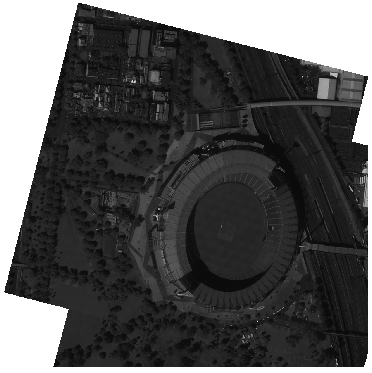
Taking below as an example the tutorial focuses on an extract of the same stadium, but accounts for a shift of 16 on x and 592 on y.
Right Image:
otbcli_ExtractROI \ -in D:/Pleiades_Tristereo_Melbourne/PHR1A_201202250025536_FR1_PX_E144S38_1205_01120/IMG_PHR1A_P_001/IMG_PHR1A_P_201202250026276_SEN_PRG_FC_5109-001_R1C1.JP2 \ -out D:/06_10_19/tristereo_melbourne_1_small_R.tif uint16 -startx 25036 -starty 12455 -sizex 1024 -sizey 1024
Left Image:
otbcli_ExtractROI \ -in D:/Pleiades_Tristereo_Melbourne/PHR1A_201202250024589_FR1_PX_E144S38_1205_01084/IMG_PHR1A_P_001/IMG_PHR1A_P_201202250025329_SEN_PRG_FC_5110-001_R1C1.JP2 \ -out D:/06_10_19/tristereo_melbourne_2_small_L.tif uint16 -startx 25020 -starty 11863 -sizex 1024 -sizey 1024
Their original position viewed in QGIS following extraction:
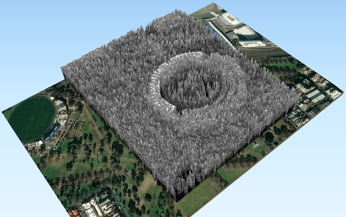
Following OTB’s- Grid Based Image Resampling step:
How do I calculate this geo-location variance on other data sets, so I can extract the appropriate sections from the pair? is there something hidden in the RPC files to indicate this, or does it even matter when grabbing larger area’s?
Thanks,
Ross