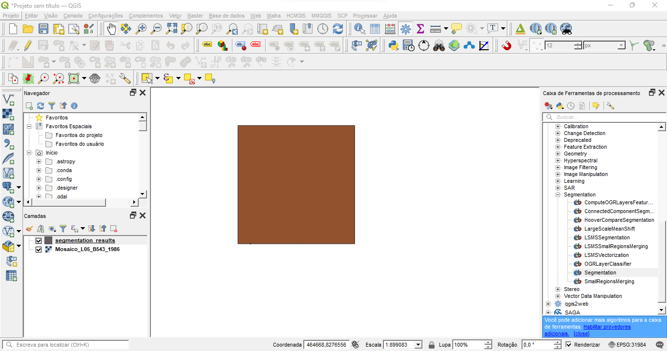
Hello, everyone. I’m new to OTB and I need some help in segmentation. I don’t understand why don’t get a vector file with segments, and only a square covering the area. I input Landsat - 5, 7 and 8 and used the meanshift algorithm and maintained the default values on the parameters. Here is a pic of what I’m talking about:
Dear @gabrieltolentino,
Thank you for using the OTB!
Maybe the default parameters are not adapted to you image. Do you want to share your image with us, so we can test?
Hello! Yeah, it can be.
https://drive.google.com/drive/folders/14e_wtKN5btC8jYNGsinxyNfbX9RM0Pov?usp=sharing
You need to adapt the Range radius parameter -ranger to the dynamic of your image.
When I use the application ComputeImageStatistics on the Mosaico image, I get
<?xml version="1.0" ?>
<FeatureStatistics>
    <Statistic name="mean">
        <StatisticVector value="0.0112117" />
        <StatisticVector value="0.0739337" />
        <StatisticVector value="0.0396668" />
    </Statistic>
    <Statistic name="stddev">
        <StatisticVector value="0.0207732" />
        <StatisticVector value="0.121765" />
        <StatisticVector value="0.067313" />
    </Statistic>
</FeatureStatistics>
This means that the value of the pixels are of the order of 10e-2. If you keep the default value of range radius (15), the algorithm will consider that all the pixels are the same. For example, if I take a pixel in the city, it has the value [0.04, 0.4, 0.15]. And if I take a pixel in the forest, it has the value [0.1, 0.15, 0.18]. The euclidean distance between those two pixels is 0.09. If you set a range radius higher than 0.09, the algorithm won’t separate city and forest pixels.
Hello,
May you explain how did you calculate the Euclidean distance between the two pixels ?
How is it helping in the configuration of the segmentation algorithm ?
Thank you !