Dear all,
I work with Orfeo (especially via Qgis processing tools. I’m performing segmentations on infrared aerial images (3 bands : NIR, R, G).
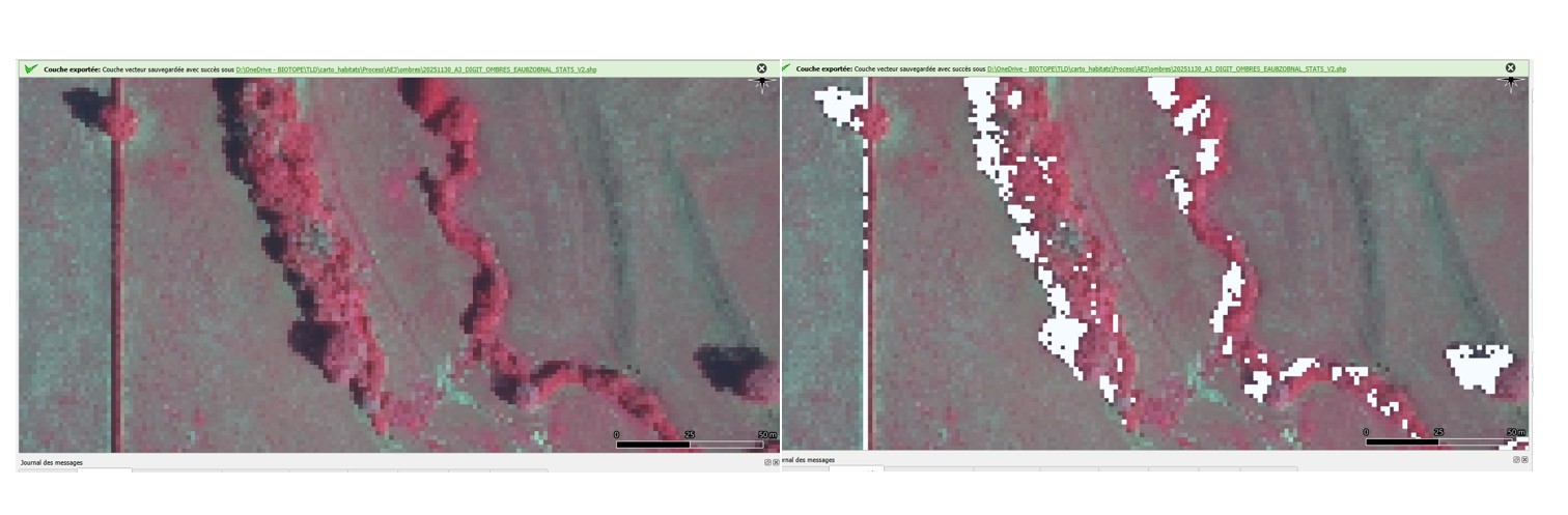
One of the problems comes from shadow (especially from trees) which affects the segmentation results. Based on an analysis of the spectral signatures of the shadow pixels, I managed to generate a mask of these pixels.I paste below a screenshot showing the aerial data + the aerial data with this cloud mask.
The idea (which might be bad) would be to generate a new aerial data by modifying the radiometric values of the three NIR, R, and V bands of the aerial data only for these shadow pixels. I thought one approach would be to define a new radiometric value for these pixels based on the values of neighboring pixels not affected by the shadow mask? In other words, the new radiometric values of the shadow pixels in aerial data would correspond to neighboring radiometric values (tree vegetation, agricultural plot, etc.). This is intended to mitigate the impact of shadow pixels on subsequent segmentation a posteriori.
Is there an OTB tool that would allow defining new radiometric values only for certain pixels of a multiband raster, based on neighboring radiometric values? (A kind of nearest neighborhood averaging, using a sliding window? or other).
Thanks so much